Monaco has nowhere to go but up, and it has spent the better part of a century solving that problem by going out instead. The country's original footprint was barely enough for a hilltop fortress, a palace and a church. Everything else — the stadium, the industrial quarter, whole seafront neighborhoods, even one of its newest districts — sits on ground that used to be Mediterranean seabed. Roughly a fifth of the land Monaco stands on today did not exist a hundred years ago. It was built, piece by piece, out of rock, concrete and sand.
A country that had to manufacture its own land
Monaco's problem was never ambition, it was arithmetic. A sovereign state squeezed between France and the sea has exactly two directions to expand: upward, which it has also done relentlessly, or outward into water it doesn't have to negotiate for. Land reclamation solved both a housing shortage and a sovereignty question at once — sea filled in and built upon becomes sovereign Monegasque territory, which is not a small thing for a country this size.
The process itself is unglamorous engineering. Enormous concrete caissons, some the size of small buildings, are cast, floated into position, and sunk onto a prepared seabed to form the outer wall of the new area. The enclosed basin behind that wall is then filled — with rock, dredged material, and imported fill — compacted, and eventually built on. It takes years, tends to shrug off storm damage better than people expect, and leaves a coastline that is dead straight where nature would have left it ragged. You can usually tell reclaimed Monaco from old Monaco just by looking at the edge of it.
Fontvieille: the first big push
Fontvieille is the clearest example and the oldest of the modern projects, begun under Prince Rainier III in the 1960s and built out over the following two decades on what had been open water below the Rock. It's easy to miss what you're standing on because Fontvieille now feels entirely ordinary — a working district of apartment blocks, a marina, a heliport, light industry, and the Stade Louis II, the national stadium, all sitting on ground that a boat could once have sailed straight through.
The reclamation didn't just add space, it added an entire functional layer to the country: somewhere to put the things a growing state needs that don't belong on a cliff edge or in a historic quarter. The car collection and a stretch of the harbor sit here too. If you want to feel the scale of what was reclaimed, look at Fontvieille from up on Le Rocher — the whole district reads as a flat rectangle dropped against the base of the old town, with none of the layered, accidental street pattern that centuries of organic growth leave behind.
Larvotto and the beach that had to be made
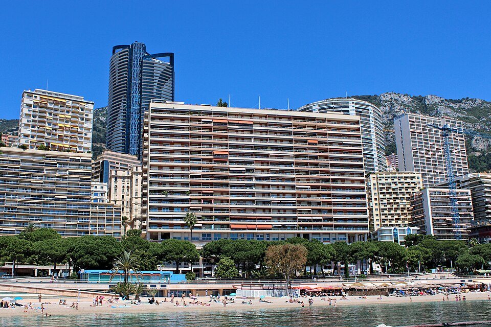
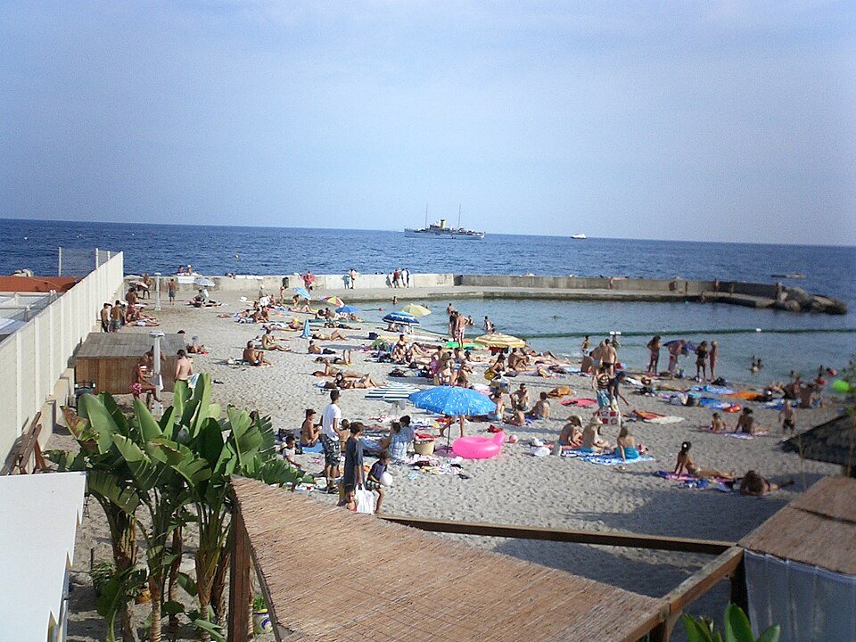
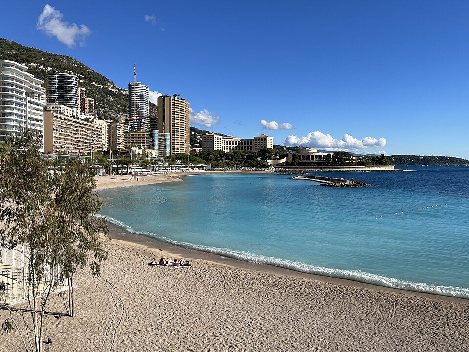
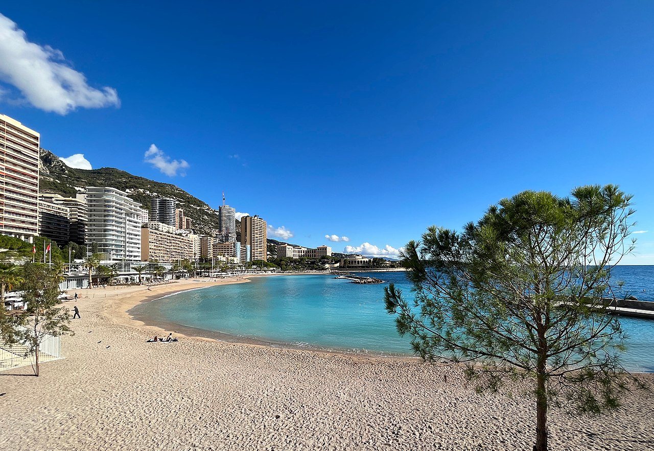
Monaco's Mediterranean coast was never generous with sand, so the beach at Larvotto is itself substantially engineered — reclaimed and replenished ground behind offshore breakwaters that keep the water calm and the sand from disappearing on the first bad storm. It's the country's main public beach and swimming area, and it exists in usable form only because of ongoing coastal engineering rather than any natural bay. Compare it with the older, wilder edges around Fort Antoine and the difference in how the coastline behaves — flat and managed versus rocky and undercut — becomes obvious.
Mareterra: the newest layer
The most recent addition sits east of the harbor at the old Anse du Portier cove, a new district built out into the sea and generally referred to by its project name, Mareterra. It added a meaningful stretch of new coastline to the country using the same caisson-and-infill method as Fontvieille, but with a design brief that leaned harder into public space — a shoreline promenade open to anyone, a park, and a residential quarter above it. It's the clearest recent proof that Monaco hasn't stopped this process; it has simply gotten more polished at doing it, folding in landscaping and pedestrian access from the start rather than retrofitting it decades later, as happened at Fontvieille.
Mareterra and the newer parts of Fontvieille aren't always well served by the same transport patterns as the old town, so check getting around before you plan on strolling between the two in one go — it's walkable, but it's a proper walk, not a corner-to-corner stroll.
What to actually look for as you walk it
None of this reclaimed land announces itself with a plaque, so the tell is always in the geometry. Old Monaco — Monaco-Ville on the Rock, the lanes around the cathedral, the approach to the Palais Princier — follows the contours of actual rock, which means bends, steps, and streets that were clearly laid out by whoever was walking there first. Reclaimed Monaco is gridded, level, and edged with a seawall that runs in long straight lines rather than natural coves. Stand at Port Hercule and look both ways: the harbor itself has been reworked and extended over the decades, but the cliff face rising behind it toward the old town is the one part of this view nobody built.
It's worth remembering how recent all of this is set against the country's actual history. Monaco has existed as a fortified rock since the Middle Ages; it has only been manufacturing its own coastline for a fraction of that time. The Musée Océanographique, by contrast, sits on the natural cliff edge exactly where it always did — a useful anchor point if you want a before-and-after sense of where the sea used to reach. For a wider view of how the coast has been shaped and reshaped over time, the sea section and the harbour section both cover ground this one only touches on.
Reclaimed land tends to be judged on what gets built on it rather than the fact of its existence, and Monaco's is no exception — most visitors walk across a fifth of the country without registering that they've left solid, original ground behind. That's arguably the point: land this expensive to make had better disappear seamlessly into the rest of the city once it's done its job.
In pictures